
FORT WAYNE, Ind. (WOWO): Winter may not officially arrive until December 21st, but it showed up Tuesday morning. Just a few inches of snow fell in the Fort Wayne area, but closer to Lake Michigan U.S. 33 was experiencing some significant slowdowns and a portion of the Indiana Toll Road was closed due to multiple crashes and slide offs.
Bad accident all on toll road headed east. No injuries. pic.twitter.com/TR2pVnNVcv
— Kylie Walker (@kylieABC57) December 12, 2017
Crash slowing up toll westbound toll road on St Joe County/LaPorte County Line. Both drivers ok. White semi clipped blue one creating this scene. @ABC57News pic.twitter.com/DeWcV4OeS3
— Vahid Sadrzadeh (@VahidTV) December 12, 2017
The lake effect snow event is winding down, but a few isolated areas will receive an additional 1-3 inches of snow, according to the National Weather Service.
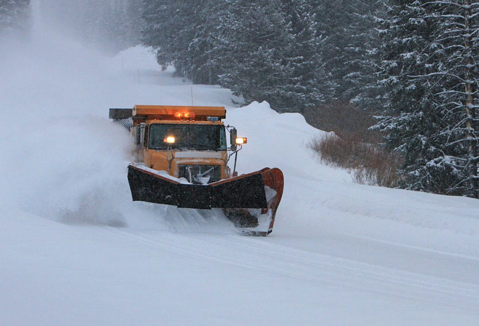
As a result, the Fort Wayne Street Department will keep plow crews on the roads.
Meantime, leaf collection did continue Tuesday, but the latest snow event did slow the collection progress. Residents should visit cityoffortwayne.org/leaves to see updated collection information.
Another storm system is expected to move through the area Wednesday bringing widespread snowfall across northern Indiana. The snow is anticipated to start falling around 7:00 a.m., with the heaviest amounts in the afternoon into early evening.
A Winter Storm Warning will remain in effect for Noble and LaGrange Counties, and a Winter Weather Advisory is also still in effect for Allen, Whitley and Kosciusko Counties.
Both will expire Wednesday.
Wednesday accumulations of 3-6 inches are expected north and east of US 30 with heaviest amounts in far northeast Indiana, southern Michigan and northwest Ohio.
RELATED: Winter storm to strike northern Indiana
